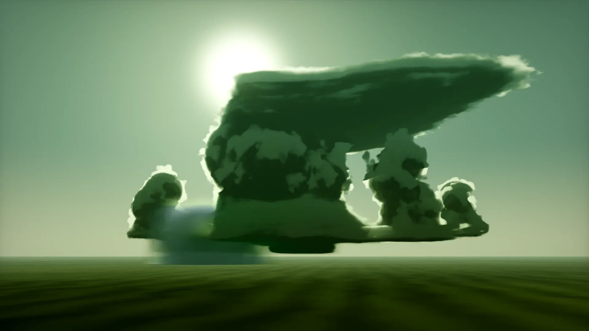
A lowered, localised cloud base beneath the rain-free part of a supercell’s updraft. A persistent, rotating wall cloud is a common precursor to a tornado.
Supercell cross-section. Warm, moist air flows in low on the right and rises in the rotating updraft; the wall cloud and tornado form under it, between the rain-and-hail core and the rear-flank downdraft.
How to spot it
A distinct, lowered block of cloud with a flat bottom under the main storm tower, usually on the rain-free side. Watch for rotation and for rising scud pulled upward into it.
On radar
Near the hook echo and the strongest inflow gradient.
Safety
A rotating wall cloud can produce a tornado quickly. If you are not trained, do not approach.